TAX ID IT01192140216 · Legal notice · Privacy · Cookie Policy · Sitemap · produced by PROFI.IT
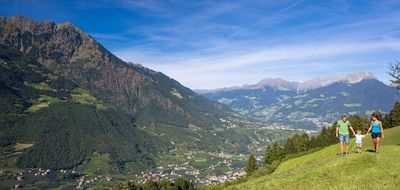
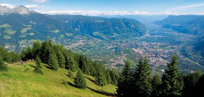
From 300 to 3.000 metres above sea level
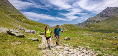
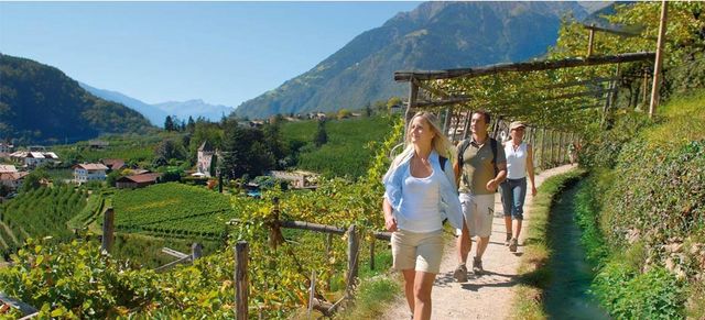
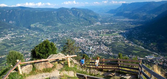
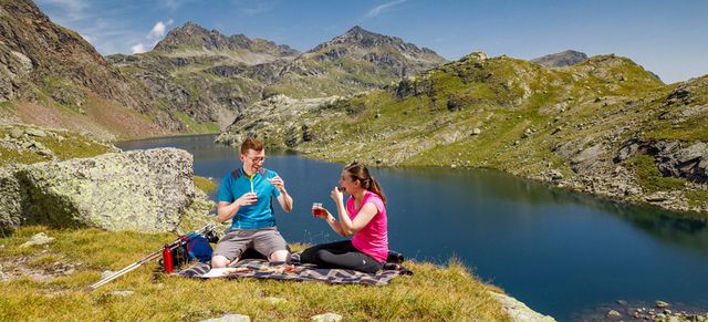
From promenades in the sunny valley to the mountain peaks...
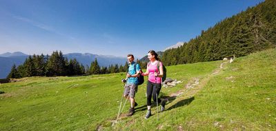
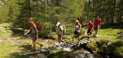
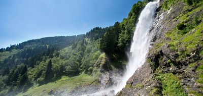
Hike on unique roads along the irrigation channels, passing water falls and clear mountain lakes, up to the place where they found ‘Ötzi’. More than 160 km of well-marked hiking and walking paths promise you a great holiday, as well as Alpine mountain experiences.
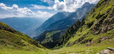
With its mild, Alpine-Mediterranean climate, Algund is the ideal starting point for many hiking trips into the South Tyrolean mountain world, e. g. the Texel Group or the Dolomites, the world's most fabulous mountain ranges
Hiking suggestions by the Tourism Board Algund »
Here you find our interactive map for your hikes in Meran and einvirons »
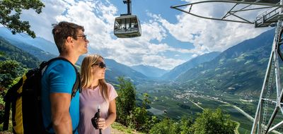
Various cablecars in South Tyrol are for free for guests of our hotels in Algund thanks to the AlgundCard!
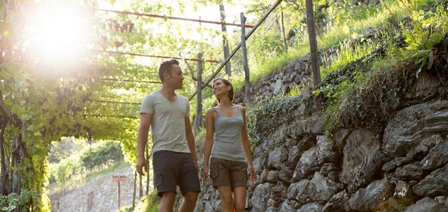
Route: The Algund irrigation channel road has two parts and is 5 to 6 km long. It runs along an irrigation channel, which runs on the plain and offers you beautiful lookout points into the Etsch Valley. The Western part begins at the car park at the Töllgraben Bridge, which can be reached with the Algund-Partschins bus or by car. The road leads you to Ober- and Mitterplars to the Grabbach and the picturesque Algund Dorf. From there, you can ascend via the Burgweg to Mitterplars or via Algund Dorf to the centre of Mühlbach. The Eastern part of the road leads you through picturesque vineyards to Gratsch and to the St. Magdalena chapel. You can either walk on if you like or return from there to Algund.
Period: all year round, during the summer a little hot
Altitute difference: 130 m
Difficulty: none
Walking time: about 2 hours
The Schludenstein circular road is recommended for warming up during the first days of your holiday. From the dairy in Algund, take path # 7 via Mitterplars - Castle Plars along the irrigation road. There, you will come to the start of the Jägersteig (25 A), which leads you through the forest to the Schlundenstein (large rock from the Ice Age). Turn right and make your way to Cafe Konrad (path # 26 A), turn right again and walk along the Burgweg to Mitterplars and to the valley terminal of the Vellau lift facility. From there, take the pedestrian path along the road to Algund back to the village centre. Alternatively, turn right from the Schlundenstein, take the path to the Ebeneicherweg. After approximately 1 km, you will reach path (# 25). From there, take the Vellau path and walk back to the centre of Algund Dorf.
Duration 2-3 h
This Ziel Valley hiking trip is only recommended for experienced hikers with stamina. Take the 1st bus to Partschins / alternatively drive with your car to the car park just above Partschins. From there, make a steep ascent to the Nassereith Alm (1,523 metres) on path # 8 and then on to the Gingl Alm (1,944 metres). Continue your way on path # 8 to the Lodner Hut (2,259 metres). Walking time from car park approximately 3 - 4 hours. The return journey is recommended on path # 8. Calculate one hour less for your descent.
Duration 3.5 h
Altitude uphill 1309 hm
Altitude downhill 1309 hm
Length 8,8 km
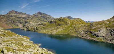
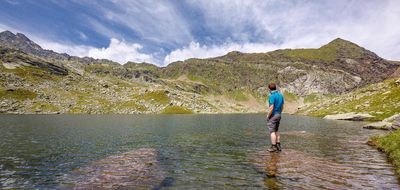
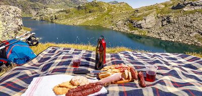
Staying the night at the Hochmuth mountain hut following a cable car ride the evening before is the best option (reservation recommended). The following morning, continue right on trail no. 22 past the Steinegg mountain hut to the Mutkopf mountain hut on trail no. 23 to the Mutspitze and the Taufenscharte gap. From here, continue right on trail 25 past the Pfitscher Lacke and Kaser Lacke ponds to the Oberkaseralm (mountain hut). Follow trail no. 22 past the Grünsee lake on the left to Langsee lake. Head past the lake on the right and then, at the midpoint of the lake ascend to the right on a gentle incline to the fork. Continue on trail 7 to the Hochgangscharte gap. The steep descent leads back to the Hochganghaus (mountain hut). From here, follow the Merano High Mountain Trail to the Leiteralm mountain hut and continue to the Hochmuth cable car.
Duration 7 - 8 h
TAX ID IT01192140216 · Legal notice · Privacy · Cookie Policy · Sitemap · produced by PROFI.IT