TAX ID IT01192140216 · Legal notice · Privacy · Cookie Policy · Sitemap · produced by PROFI.IT
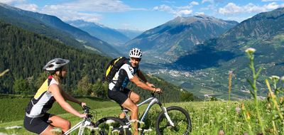
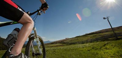
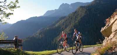
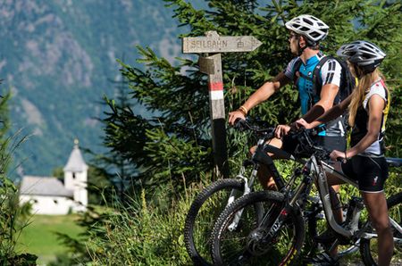
When it comes to mountain biking and cycling there are few better places than the region of Meran and environs...
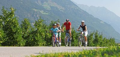
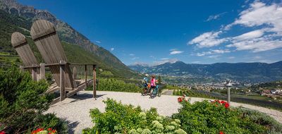
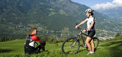
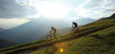
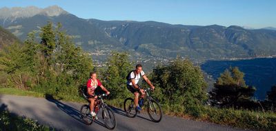
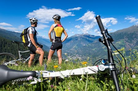
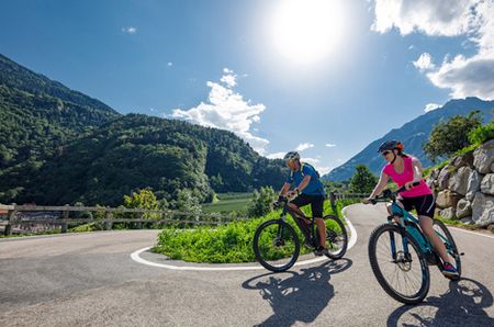
There are unlimited possibilities in Algund and the surrounding areas for discovering its beautiful landscape on a bike, while doing something for your health at the same time. Whether you make your way through vineyards or orchards, with your sports or road bike, or whether you ride along forest roads and across Alpine meadows on your mountain bike, there is something for everyone and for every grade of difficulty.
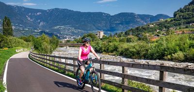
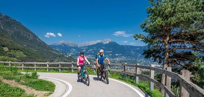
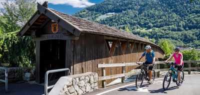
A must for cyclists is the cycle path along the old Roman Emperor road, called the Via Claudia Augusta. A part of this route runs along the Vinschgau Valley from the Reschen Pass to Algund near Meran and from there further south, constantly along the Etsch River. This is a true paradise for cyclists. Along the road, there are numerous villages with many places worth visiting and places to stop for a bite to eat. Thanks to the AlgundCard, all guests of our hotels in Algund can profit from the combination train+bike: you can take the modern Vinschger railway, get out at the station you prefer and cycle back to Algund.
South Tyrol map powered by sentres - Outdoor portal & App for South Tyrol »
From Algund, ride via Mitterplars to Töll. Follow the marked cycle path into the valley in the direction of Plaus. At 1.4 km, you come to a farmhouse and wooden cross. Turn left and at 2.2 km turn left again. Continually ascending, follow the signs to the Pirchhof. At 6.3 km, leave the road (sign for Brandhof) and turn right, easy ascent, to the snack station Brandhof (1,044 metres) at 7.2 km. Downhill (path # 16) across meadows and a narrow forest path. When you come to 8.25 km, you have reached the Steilhof (986 metres). Follow the road uphill and at 9.8 km you come to the access road for the Naturnser Alm. Downhill to Naturns, passing the sports fields at 16 km. Cycle straight ahead, then cross the river Etsch after 200 metres. After the bridge, ride along the river, downhill, to the exit.
Duration 6 h
Altitude uphill 1650 hm
Altitude downhill 1650 hm
Length 46 km
TAX ID IT01192140216 · Legal notice · Privacy · Cookie Policy · Sitemap · produced by PROFI.IT